The Real Estate & Air Quality Series: Part 2
In Part 1, we showed that air pollution is not only a public health issue but also an economic factor that affects real estate performance. Academic research and market evidence consistently link air quality to property values, tenant demand, and employee well-being. Cleaner air supports stronger rental performance and more resilient long-term value, while polluted locations face structural disadvantages. If you haven’t read Part 1, click [here].
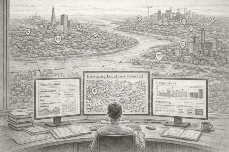
This raises a practical investor question: if air quality matters, how can it be measured in a way that meaningfully supports real estate decisions?
Part 2 addresses this step, turning air quality from an abstract environmental issue into a location-specific, investment-relevant signal.
Air Quality as a Location Risk Factor
Institutional investors already assess multiple location risks, including accessibility, flood exposure, noise, energy performance, and regulation. Air quality fits naturally within this framework.
Rather than a moral consideration, air pollution represents a negative externality that can affect tenant demand, pricing power, and long-term risk. Locations with persistently high pollution may face growing regulatory pressure or declining attractiveness, while cleaner areas tend to align better with tenant preferences around health, sustainability, and employee well-being.
These effects do not operate at the city level, but where real estate competition actually occurs: micro-markets, neighbourhoods, and boroughs. Unlike many other risks, air quality is not directly visible. Without structured, spatially granular data, it is difficult to assess, compare, or price—making high-quality air data essential.
Air Quality Data: Sources and Investor Relevance
Air quality data typically combines government monitoring stations, modelled estimates incorporating traffic, emissions, and weather, and satellite observations. For investors, the value lies not in short-term fluctuations but in consistent, comparable measures of long-term exposure.
Annual averages for pollutants such as NO₂ and PM2.5 are particularly relevant, as they are closely linked to long-term health effects, regulatory thresholds, and economic outcomes. When mapped at high spatial resolution, this data enables systematic comparison across assets, neighbourhoods, and competing micro-markets.
Why Hyperlocal Resolution Matters: Evidence from Paris
A common pitfall is reliance on city-level averages. While useful for inter-city comparisons, these averages mask
substantial intra-city variation. The Paris case study in Figures 1–3 illustrates this clearly.

Figure 1: Paris NO₂ by neighbourhood (2019), source: KR&A (2025)
This first map shows average annual NO₂ concentrations by neighbourhood in 2019, with selected institutional office and mixed-use assets overlaid.
At this stage, the map already highlights pronounced differences between Paris neighbourhoods. Even within the same metropolitan area, NO₂ exposure varies meaningfully across boroughs and street networks, reflecting traffic density, urban form, and land use patterns.

Figure 2: Paris NO₂ by neighbourhood (2024), source: KR&A (2025)
Between 2019 and 2024, NO₂ concentrations decline across most neighbourhoods. This reflects structural developments such as tighter vehicle emission standards, the expansion of low-emission zones, and reduced inner-city traffic. From a city-wide perspective, Paris is clearly moving in the right direction.

Figure 3: Side-by-side comparison of 2019 vs 2024 (same scale), source: KR&A (2025)
Together, these figures illustrate two dynamics that only become visible at a 250-metre spatial grid:
- A broad improvement in air quality over time
- Persistent, stable differences between neighbourhoods and micro-markets
What the Paris Maps Reveal
NO₂ is a harmful pollutant primarily produced by traffic and combustion. Long-term exposure increases respiratory and cardiovascular risks and contributes to smog and particulate formation.
While average NO₂ levels decline across Paris, relative exposure remains highly location-specific. Central areas and neighbourhoods near major traffic corridors continue to show higher concentrations in both years. For real estate decision-making, this distinction is critical: assets compete within neighbourhoods, not cities. Two assets may benefit from the same regulatory environment yet differ materially in environmental exposure due to micro-location effects.
Asset Overlay and Latent Environmental Risk
Overlaying institutional assets sharpens this insight. Centrally located properties such as Westfield Forum des Halles, Carrousel du Louvre, Le Building, 35 Capucines, and Saint-Lazare Paris remain in neighbourhoods with relatively higher NO₂ exposure in both 2019 and 2024.
While these assets may perform well today, their micro-market positioning implies latent environmental risk not captured by city-level indicators such as “Paris air quality is improving.” City-wide progress does not automatically translate into reduced risk at the asset level.
As tenant awareness, ESG scrutiny, and regulation evolve, relative differences between neighbourhoods are likely to influence leasing decisions and long-term positioning—often before they are fully reflected in pricing.
Time, Valuation, and Leasing Risk
The Paris example also highlights the importance of time. Long-term exposure to pollutants such as NO₂ and PM2.5 is most relevant for valuation, hold-period risk, exit pricing, and future regulatory pressure.
Persistent neighbourhood-level exposure can gradually shape how locations are perceived by occupiers and investors. In dense urban cores, hyperlocal air quality becomes a slow-moving but structurally important component of location quality.
In Part 3 of this series, we extend this approach across multiple European office markets and
explore how differences in air quality exposure can influence portfolio allocation, relative value, and
long-term performance.