Routing the Unmapped: The Korean Apateu
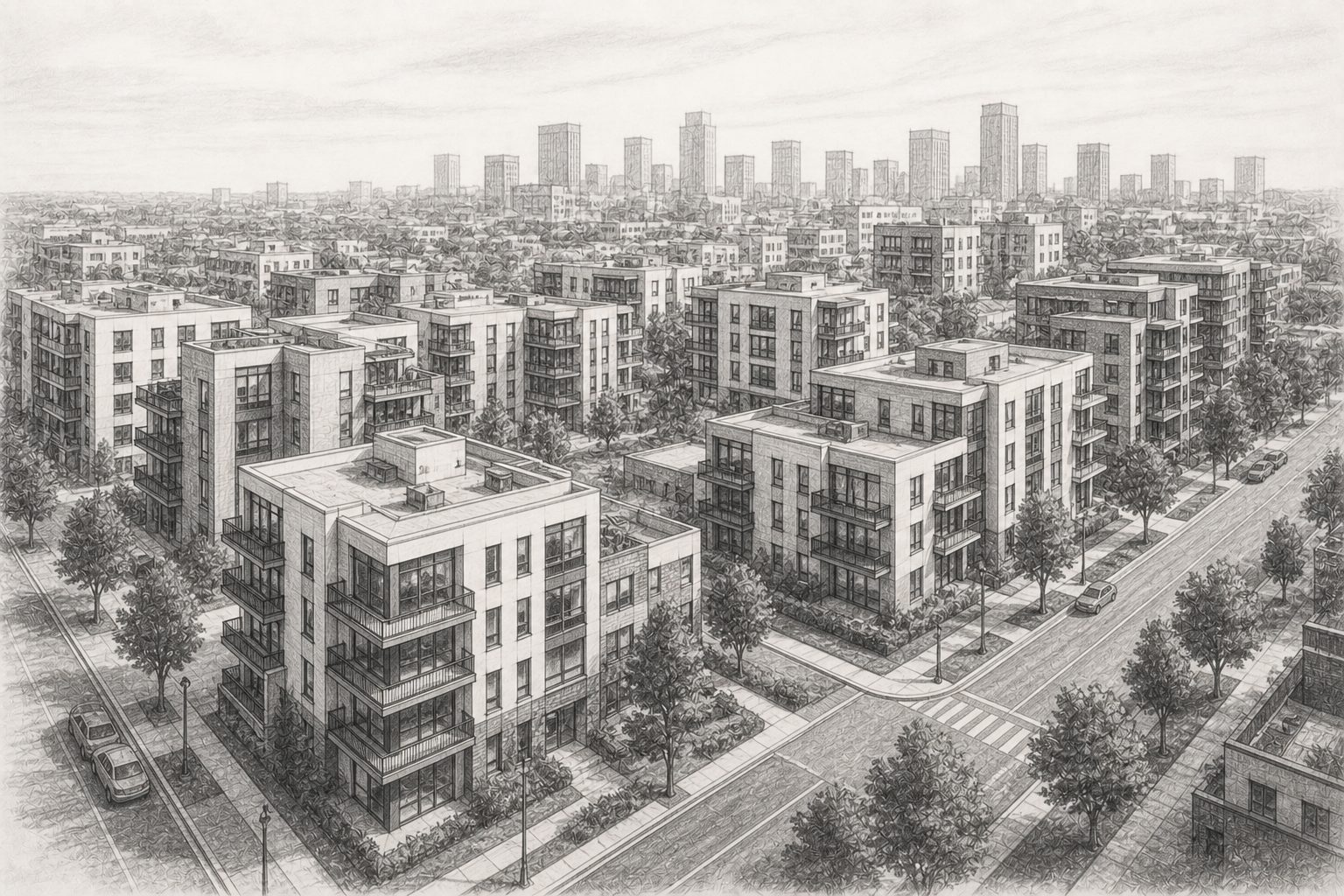
More than half of South Korean households live in an apartment (52.4 per cent on the 2022 census), and almost two-thirds of the country's homes are one (64.0 per cent of housing units). Most of that stock stands inside 아파트단지 (apartment complexes): walled or gated groups of towers around a shared interior of footpaths, courtyards and parking. The sources we build our network from map the towers and the outline of each complex, but not the paths inside it. Because our engine routes over a network, not in a straight line, that gap changes the walk it measures; left uncorrected, it scores the most common form of Korean housing as if every resident lived on the ring road. In this post we show what the gap does to a score, and how we close it.
What an apateu is
아파트 (apateu) is the Korean word for an apartment building, and a 단지 (danji) is the complex it belongs to: anywhere from three to forty towers on one site, built and managed as a single estate. A complex has its own internal roads and footpaths, gates onto the surrounding streets, and often a convenience store, a daycare and a playground inside the walls. In the larger cities it is the ordinary form of housing, not the exception. Residents leave for the shop by whichever gate is nearest, whereas a map, which draws the outline and the towers but not the paths between them, treats the complex as a sealed block.
Why it is a problem
Our Pedestrian score, one of the three scores in the Connectivity Score, is built on routed distance. From the origin of every 250-metre cell we score, we run a shortest-path search over the walk network and count the amenities it reaches, weighted by how far away they are. With no paths mapped inside a complex, both ends of a resident's walk attach to the nearest point on the perimeter: the home, and any shop inside the walls. Firstly, the walk therefore starts on the boundary road, and a shop outside the complex may be reached from the wrong gate. Secondly, a shop two hundred metres away across the courtyard is measured as a walk along the ring road between two perimeter points. The score still counts that shop, but at the wrong distance.
We are not the first to notice this. Dogan, Han and Lee (2021) studied 44 complexes on the east side of Mapo-gu in Seoul and found that the internal network "constitutes barriers for the strangers to the neighborhood because the online maps do not provide a route option for apartment complexes' internal streets." Many complexes are in fact open to walk through, so what is missing is the route on the map, not the right of way. The same study puts a number on what the interior is worth: opening the complexes through their existing entrances raised four network accessibility measures within 800 metres by 1.48 to 3.20 per cent, and also redesigning the interior paths raised them by 2.99 to 6.16 per cent. Both scenarios start from an interior that is already on the map; ours is not, so the gap we face is plausibly the larger one.
How we solved it
We first identify the complexes. A polygon counts when the source classifies it as apartment stock, or when it is residential land named as such in Korean or English, and it then has to pass two tests of ours: it must hold at least three apartment-building footprints and cover at least five thousand square metres. Both tests can only remove a candidate, so the method errs towards missing a complex, never towards inventing one. Across Korea that identifies 12,689 complexes. Of these, 8,582 now route.
We then build the interior the sources do not have. Inside each complex we place one hub node, on a point guaranteed to lie within the outline, and run spoke edges from it to the gates and entry points on the perimeter. Each spoke is walked at 1.39 metres per second, the speed used across the rest of the walk network, over a length derived from the size of the complex. Homes and amenities inside the complex then attach to the hub, so a resident's walk begins at home and a shop on the other side of the courtyard is reached directly. The method adds no homes and no amenities; it changes only where existing ones join the network.
To check the effect, we compared cells in three of Seoul's apateu-heavy districts by where their walk starts. Cells that start from a routed complex now score level with the street grid around them: a mean raw Pedestrian score (0 to 100, before any ranking) of 80.9 against 76.6 in Gangnam-gu, 81.1 against 71.7 in Mapo-gu, and 80.8 against 80.1 in Songpa-gu. On medians the two sit within 1.5 points of each other in every district, and the samples are small: 51, 30 and 72 complex cells. A home behind a gate no longer scores like a home at the end of a ring road. This compares neighbours, not the same cells before and after; a follow-up post will run that before-and-after and put a number on the recovery.
For anyone who owns, values or plans around Korean residential stock, a home in a routed complex is now scored on the walk its residents take, not on the ring road around it. The interior is modelled, not surveyed, so that walk is an approximation; it is, however, a more defensible one than sending every resident out to the perimeter.
References
Dogan, O., Han, J., and Lee, S. (2021). Opening Gated Communities and Neighborhood Accessibility Benefits: The Case of Seoul, Korea. International Journal of Environmental Research and Public Health, 18(8), 4255. https://doi.org/10.3390/ijerph18084255
KR&A (2026). Connectivity Score. https://connectivityscore.krafin.tech